

Dynamic History
Battle of Gettysburg: How Did Terrain Shape the Fighting? | Dynamic History | Grades 6–8
Battle of Gettysburg: How Did Terrain Shape the Fighting? | Dynamic History | Grades 6–8
Couldn't load pickup availability
At Gettysburg, roads brought two armies together, but the battlefield's high ground and open fields affected what happened next. Students follow the first day's retreat, the Union defensive line, Little Round Top, and the failed Confederate attack on July 3. The investigation also addresses how Gettysburg affected local residents and how Lincoln later explained the war's purpose at the national cemetery.
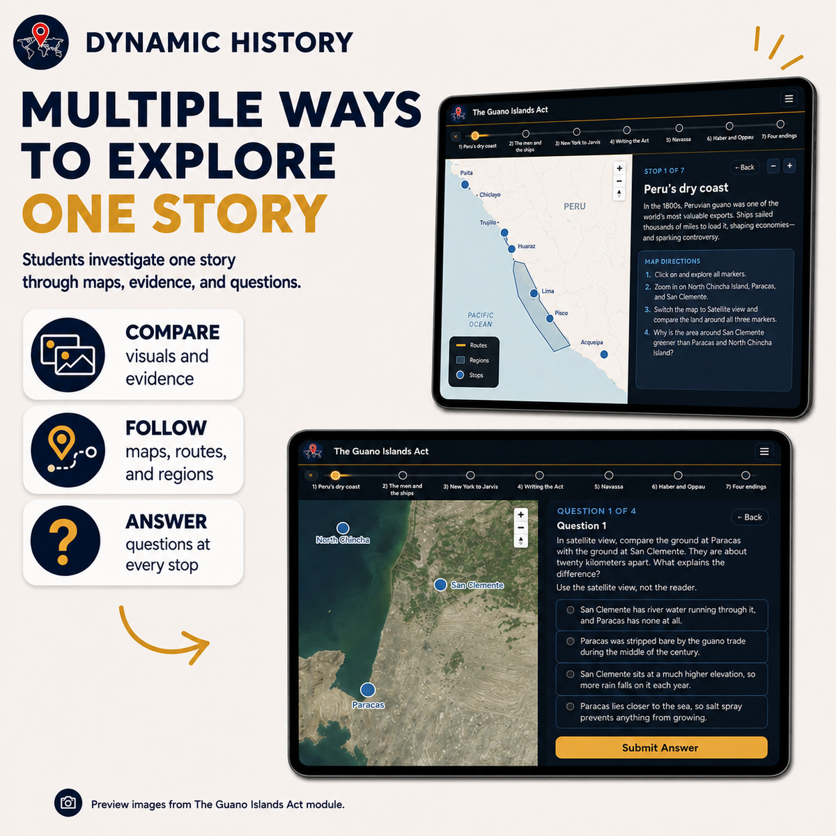
In this two-day, six-stop Dynamic History investigation, students practice mapping events, reading historical evidence, and explaining cause and effect. They select either Standard or Accessible text within the interactive resource; both paths address the same historical questions.
What students investigate
- Pennsylvania and the Roads to Gettysburg: Why did two armies that were not aiming for Gettysburg meet there?
- July 1: From McPherson Ridge to Cemetery Hill: Why did Union troops fall back to Cemetery Hill, and why did they stop there?
- The Hook-Shaped Line: Cemetery Ridge and Culp’s Hill: Why did the shape of the Union line help the Union army defend it?
- July 2: Little Round Top and the South End of the Line: How much did the hills and rocks at the south end shape the fighting on July 2?
- Pickett’s Charge: Across Open Ground: Why did the July 3 attack across open ground fail?
- After the Battle: The Town, the Brians and the National Cemetery: What did the battle leave behind in Gettysburg, for its people and for the nation?
Two-day classroom sequence
Day 1 — Stops 1–3: Pennsylvania and the Roads to Gettysburg; July 1: From McPherson Ridge to Cemetery Hill; The Hook-Shaped Line: Cemetery Ridge and Culp’s Hill. Students develop the context and examine the choices or conflicts that frame the investigation.
Day 2 — Stops 4–6: July 2: Little Round Top and the South End of the Line; Pickett’s Charge: Across Open Ground; After the Battle: The Town, the Brians and the National Cemetery. Students use additional evidence to explain the consequences and make an evidence-based conclusion.
What is included
- Six-stop interactive inquiry with historical maps and evidence
- Standard and Accessible reading options inside the module
- Two-day Teacher Guide and Answer Key (DOCX)
- Editable student worksheet (Google Slides)
- Printable student worksheet (Google Slides)
- Self-graded Google Forms multiple-choice quiz
- Multiple-choice print quiz (Google Docs)
- Assessment bank: 5 vocabulary terms, 4 two-part short answers, 2 two-part challenges, 15 multiple-choice questions
- START HERE instructions linking to the module’s shared Google Classroom folder
Flexible classroom use
- Teach in two class periods, with additional time for deeper discussion when available
- Project maps and evidence for whole-class instruction or use student devices
- Choose Standard or Accessible reading levels based on students’ needs
- Use editable slides for digital answers or printable slides for paper responses
- Assign written questions and the quiz as formative or summative assessments
Skills and historical literacy
Students practice chronology, geographic reasoning, sourcing, cause and effect, comparison, and the use of historical evidence to support explanations. The activity is designed for grades 6–8 U.S. History and social studies classrooms.
Getting started
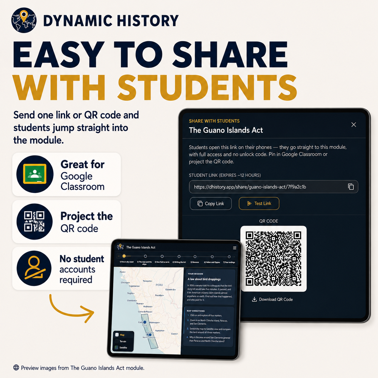
Open the included START HERE PDF to access the shared folder, make classroom copies, and open the interactive Dynamic History module. The Teacher Guide supports instruction while the students use the interactive readers and the assessment resources.
Frequently asked questions
Is there a separate printed reader? No. Standard and Accessible reading versions are available inside the interactive investigation; printable assessment worksheets are provided separately.
Do I need a Readers Theater script? No. This is a complete standalone Dynamic History lesson.
Can I teach it without students using individual devices? You may project and discuss the maps as a class, then use the printable worksheet and quiz for paper responses.
Complete the series or try the free first lesson
This two-day investigation can be taught independently or as part of the Civil War & Reconstruction complete eight-module bundle, which follows the historical sequence from slavery and secession to the contested outcomes of Reconstruction.
Before purchasing, you can try the complete free first lesson: Why Did the Civil War Begin? Slavery, Expansion & Secession, with the same six-stop structure, Standard and Accessible readings, Teacher Guide, and classroom assessment resources. Or browse all eight lessons.
Share