Readers Theater Worksheets
North Carolina State History | Three Regions, One State RT Script and Mini Readers | Grades 3-5 FREE
North Carolina State History | Three Regions, One State RT Script and Mini Readers | Grades 3-5 FREE
Couldn't load pickup availability
Classroom Use at a Glance
A free North Carolina State History geography lesson for grades 3–5 with a Reader’s Theater script, original and accessible Mini Readers, map-based reasoning, worksheets, and quizzes.
Classroom Uses Whole Class, Small Groups, Fluency Practice, Content-Area Reading, Discussion, Assessment, Review view all
- Whole Class
- Small Groups
- Fluency Practice
- Content-Area Reading
- Discussion
- Assessment
- Review
Included Reader’s Theater Script, Original Mini Reader, Accessible Mini Reader, Teacher Guide, Student Worksheet, Answer Key, Quiz, Google Forms Quiz, Vocabulary, Discussion Questions, Challenge Questions, Primary Source Extension view all
- Reader’s Theater Script
- Original Mini Reader
- Accessible Mini Reader
- Teacher Guide
- Student Worksheet
- Answer Key
- Quiz
- Google Forms Quiz
- Vocabulary
- Discussion Questions
- Challenge Questions
- Primary Source Extension
Format PDF, DOCX, Google Forms, ZIP Download, Printable, Editable view all
- DOCX
- Google Forms
- ZIP Download
- Printable
- Editable
Differentiation Accessible Version, Original Version, Mixed Reading Levels, ELL Support, Struggling Readers, Vocabulary Support, Small-Group Support view all
- Accessible Version
- Original Version
- Mixed Reading Levels
- ELL Support
- Struggling Readers
- Vocabulary Support
- Small-Group Support
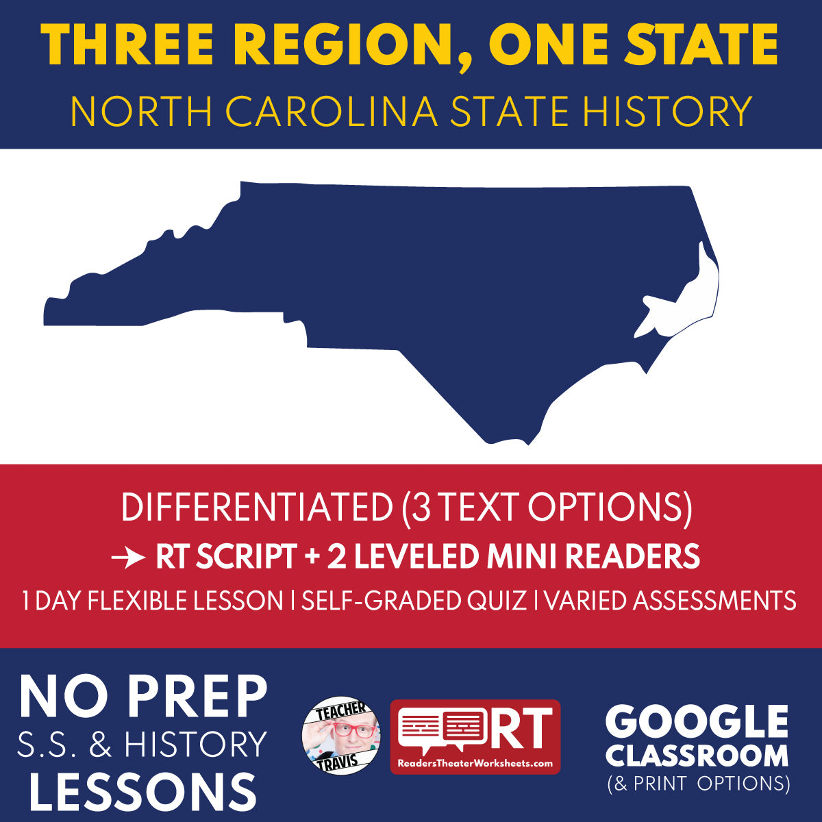
Turn North Carolina geography into an active Grade 4 map mystery with a Reader’s Theater script and two differentiated Mini Readers. A storm-damaged exhibit map, mixed cargo clues, a closed ferry, and a mountain rockfall require students to compare the Coastal Plain, Piedmont, and Mountains instead of memorizing a list.
Students use physical and transportation evidence to explain how landforms, water, resources, routes, communities, and economies connect across the state. The lesson builds map-reading, cause-and-effect, and evidence-based discussion skills while giving teachers a free sample of the complete ten-script North Carolina State History format.
Part 1 of the 10-script North Carolina State History bundle. Get the complete North Carolina State History Mini Unit Bundle here.
Classroom Use
Every assessment option is designed to be answerable from the Reader’s Theater Script, the Original Mini Reader, or the Accessible Mini Reader. Teachers can place students in different reading paths while keeping the class on the same essential history, vocabulary, questions, and quiz.
Perfect For
- North Carolina geography and three-regions units
- Grade 4 social studies and content-area literacy
- Map skills, transportation, resources, and regional comparison
- A free trial lesson before purchasing the complete North Carolina bundle
- Whole-class performance, small groups, sub plans, review, or intervention
Flexible Differentiation
- Use the Reader’s Theater script for whole-class participation, small-group performance, oral fluency, and discussion.
- Use the Original Mini Reader for stronger independent readers, homework, or deeper content-area reading.
- Use the Accessible Mini Reader for mixed-level classes, ELL support, intervention, struggling readers, or faster one-day use.
- Print selected pages or assign the included Google Classroom files.
- Use the worksheet, challenge questions, print quiz, or self-graded Google Forms quiz for assessment and review.
Skills Addressed
- Reading and comparing maps
- Regional geography and physical features
- Cause and effect
- Using evidence to support a claim
- Reading fluency and collaborative performance
- Vocabulary in context
What’s Included
Student Text Options
- Reader’s Theater Script with differentiated character roles
- Original Mini Reader
- Accessible Mini Reader
Assessment Materials
- Vocabulary in context
- 10 two-part comprehension questions
- 5 two-part challenge questions
- 20-question multiple-choice quiz
- Self-graded Google Forms quiz
Teacher Materials
- Teacher Guide and standards alignment
- Answer keys
- Discussion prompts
- Primary-source or evidence extension
- Printable and editable files
Explore All 10 North Carolina State History Scripts
This individual lesson is part of a connected ten-script sequence. Use the complete bundle as a mini unit, or select individual episodes to match your pacing guide.
- 1. Three Regions, One State — Compare the Coastal Plain, Piedmont, and Mountains through a map mystery about landforms, waterways, resources, routes, and communities.
- 2. First Peoples of North Carolina — Use Town Creek archaeology and present-day tribal information to study distinct Native peoples, Cherokee sovereignty, and continuity.
- 3. Roanoke — Investigate Roanoke, CROATOAN, archaeology, Native perspectives, and what the surviving evidence can and cannot prove.
- 4. Colonial Carolina Crossroads — Connect the Great Wagon Road, Tryon Palace, colonial government, grievances, petitions, the Regulators, and Alamance.
- 5. First in Freedom? — Examine Edenton, Moores Creek, the Halifax Resolves, Guilford Courthouse, divided loyalties, and the meaning of freedom.
- 6. Roads to Freedom — Study slavery, resistance, Harriet Jacobs, Somerset Place, the Great Dismal Swamp, freedom seeking, and abolition.
- 7. Cherokee Homelands and the Trail of Tears — Trace Cherokee homelands, sovereignty, removal policy, petitions, forced routes, survival, and the Eastern Band today.
- 8. War at Home — Connect Fort Fisher, Bentonville, Bennett Place, civilians, emancipation, surrender, and Reconstruction.
- 9. First in Flight — Follow Wright brothers experiments from gliders and wind-tunnel data to the 1903 flights at Kill Devil Hills.
- 10. From Lunch Counter to State Future — Connect the Greensboro sit-ins to civil rights, state government, citizenship, and North Carolina’s modern economy.
Get the Complete North Carolina State History Bundle
Text Summary
Students compare North Carolina’s Coastal Plain, Piedmont, and Mountain regions through a concrete map mystery. They connect landforms, waterways, resources, transportation, communities, and economic activity while practicing careful claims based on geographic evidence.
Share