Dynamic History
Mesopotamia: First Cities Between Two Rivers | Dynamic History Module | Grades 6-8
Mesopotamia: First Cities Between Two Rivers | Dynamic History Module | Grades 6-8
Couldn't load pickup availability
Classroom Use at a Glance
A complete grades 6-8 Dynamic History lesson on Mesopotamia and the growth of first cities, calibrated primarily to Grade 6. Includes a six-stop two-day interactive investigation, Teacher Guide and Answer Key, and shared Google classroom files. Students investigate changing river channels, the southern alluvial plain, Tell Rumah canal evidence, Uruk urbanization and specialization, long-distance materials at Ur, and aerial archaeology.
Classroom Uses Whole Class, Small Groups, Content-Area Reading, Discussion, Assessment, Review, Homework, Sub Plan view all
- Whole Class
- Small Groups
- Content-Area Reading
- Discussion
- Assessment
- Review
- Homework
- Sub Plan
Included Teacher Guide, Student Worksheet, Answer Key, Quiz, Google Forms Quiz, Vocabulary, Challenge Questions view all
- Teacher Guide
- Student Worksheet
- Answer Key
- Quiz
- Google Forms Quiz
- Vocabulary
- Challenge Questions
Format PDF, DOCX, Google Docs, Google Slides, Google Forms, ZIP Download, Printable, Editable view all
- DOCX
- Google Docs
- Google Slides
- Google Forms
- ZIP Download
- Printable
- Editable
Differentiation Accessible Version, Mixed Reading Levels, ELL Support, Struggling Readers, Vocabulary Support, Small-Group Support view all
- Accessible Version
- Mixed Reading Levels
- ELL Support
- Struggling Readers
- Vocabulary Support
- Small-Group Support
Help students investigate how the first large cities of southern Mesopotamia depended on both a resource-rich river plain and sustained human coordination. This Dynamic History module for grades 6-8, calibrated primarily to Grade 6, follows six evidence-rich stops from the changing Euphrates and local canal management to Uruk, long-distance materials at Ur, and aerial archaeology.
Students work with maps, borehole evidence, artifacts, early writing, settlement scale, trade-distance comparisons, and aerial imagery. The investigation asks how people managed water, food, labor, storage, recordkeeping, and exchange as settlements grew into cities.
Try the first module 100% FREE to see if this resource will meet your needs.
What students investigate
- Why the modern Euphrates cannot be treated as an exact map of the river channels available to ancient Ur
- How the southern alluvial plain offered water, fertile soils, wetlands, pasture, transport routes, and serious management challenges
- How boreholes, sediments, pottery, and dating evidence at Tell Rumah support a limited claim for planned local canal management
- Why Uruk's large scale increased the need to coordinate food, labor, storage, construction, specialization, quantities, and records
- What lapis lazuli and carnelian at Ur show about long-distance connections - and why straight-line map connectors are not reconstructed trade routes
- How U-2 and CORONA aerial imagery, combined with pottery and ground survey, helps archaeologists reconstruct changing activity around Ur
What's included
- Two-day guided Dynamic History investigation with six historical stops
- Teacher Guide and Answer Key with suggested Day 1 and Day 2 pacing
- Editable digital student worksheet and print student worksheet
- Self-graded Google Forms quiz and multiple-choice print quiz
- Assessment bank with 5 vocabulary terms, 4 two-part short-answer questions, 2 two-part challenge questions, and 15 multiple-choice questions
Flexible classroom use
- Teach the core investigation across two 45-50 minute class periods
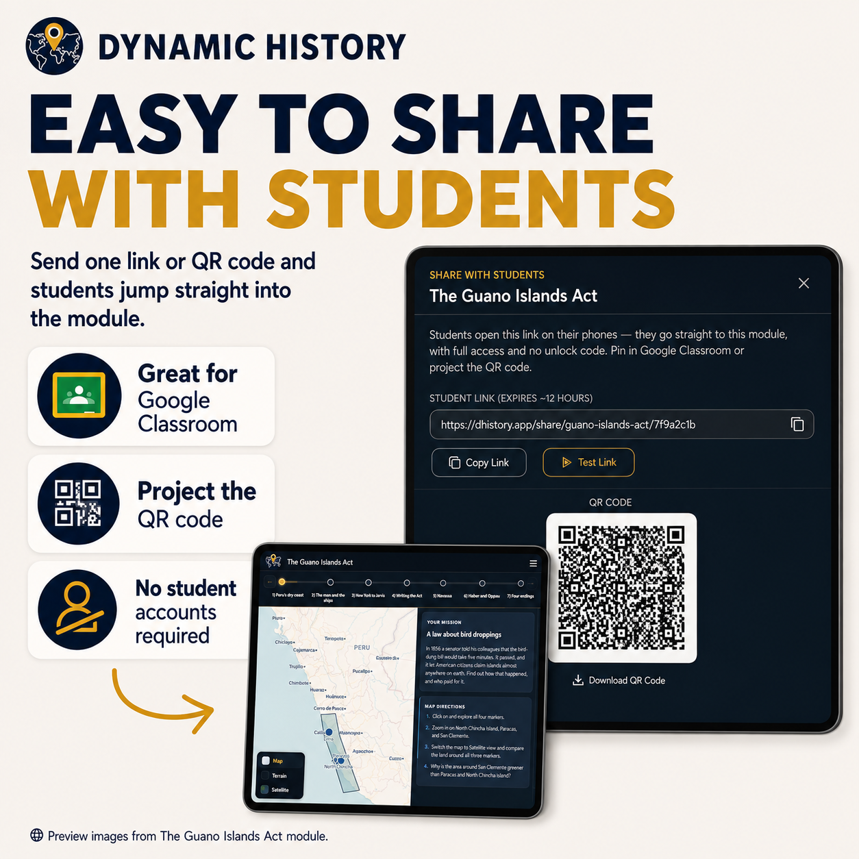
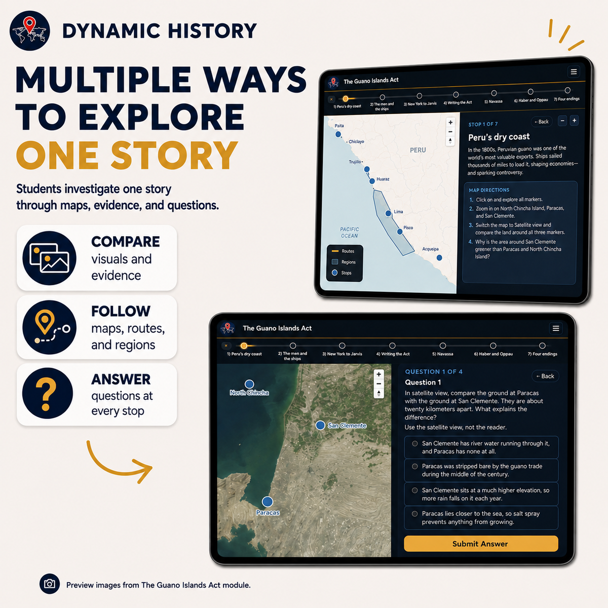
- Use the interactive Dynamic History experience when students have devices
- Use selected written questions for homework, review, or a short check for understanding
- Use the complete assessment as a separate assessment period when desired
Skills addressed
- Using maps, archaeological evidence, artifacts, and aerial images to support historical claims
- Distinguishing what evidence shows from what it cannot prove
- Tracing cause and effect between environment, water management, settlement growth, and urban coordination
- Interpreting scale, distance, and geographic change without treating map graphics as historical boundaries or routes
- Corroborating several kinds of evidence before drawing a historical conclusion
Standards alignment
CCSS History/Social Studies literacy connections documented in the Teacher Guide include RH.6-8.1, RH.6-8.2, and RH.6-8.7. Written synthesis may support WHST.6-8.9.
Share