Dynamic History
From House Seats to Districts | Dynamic History Module | Grades 9-12
From House Seats to Districts | Dynamic History Module | Grades 9-12
Couldn't load pickup availability
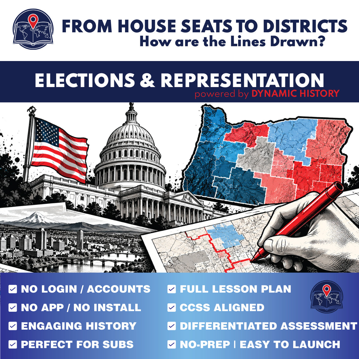
Teach apportionment and redistricting through a concrete Oregon case study. In this two-day Dynamic History investigation for grades 9-12, students begin with Oregon gaining a sixth U.S. House seat after the 2020 census and follow the separate process that turned six seats into six congressional districts.
Students use Supreme Court cases, Oregon's 2021 districting process, Portland-area maps, city and ZIP-code examples, and a land-area comparison between Districts 2 and 6. The module repeatedly asks students to separate equal population from equal land area and to distinguish what a map can show from what it cannot prove about political motive.
What students investigate
- Oregon's sixth U.S. House seat after the 2020 census
- Baker v. Carr and the justiciability of constitutional districting claims
- Wesberry v. Sanders and the equal-population principle for congressional districts
- Oregon's 2021 congressional redistricting process and six-district map
- Four congressional districts meeting in the Portland metropolitan area
- City limits, ZIP codes, and congressional district boundaries
- Oregon District 2 and District 6: nearly equal populations with very different land areas
- The final distinction between gaining a House seat and drawing its district lines
State and local classroom connection
Because Oregon's sixth House seat and 2021 congressional map are the central case study, this lesson has an especially strong fit for Oregon high school government, civics, and Oregon state history classrooms while still teaching national principles used in every state.
What's included
- Two-day guided Dynamic History investigation with six mapped stops
- Teacher Guide and Answer Key with Day 1 and Day 2 pacing
- Standard and Accessible reading levels inside the interactive module
- Editable digital student worksheet generated in Google Slides
- Printable student worksheet generated in Google Slides
- Self-graded Google Forms quiz and MC print quiz
- Assessment bank with 5 vocabulary terms, 4 two-part short-answer questions, 2 two-part challenge questions, and 15 multiple-choice questions
Flexible classroom use
- Teach the core investigation across two 45-50 minute class periods
- Project the interactive module for whole-class instruction or use individual/shared student devices
- Use the digital worksheet for typed responses or the printable worksheet for paper-based response work
- Use selected written questions for homework, review, or a short check for understanding
- Use the complete assessment as a separate assessment period when desired
Skills addressed
- Distinguishing apportionment from redistricting
- Comparing Supreme Court cases and identifying the legal principle each contributes
- Reading congressional district maps and relating population density to district land area
- Separating observable geographic evidence from unsupported conclusions about motive
- Using a state case study to explain national rules for representation
Standards alignment
CCSS History/Social Studies literacy connections documented in the Teacher Guide include RH.9-10.1, RH.9-10.2, RH.9-10.7, RH.9-10.9 and corresponding RH.11-12 standards where appropriate. Written extensions may also support WHST.9-10.1, WHST.9-10.2, WHST.9-10.9 and corresponding WHST.11-12 standards.
Digital and print student outputs
The shared Google Classroom folder contains the editable digital worksheet, printable worksheet, self-graded quiz, MC print quiz, and source Teacher Guide generated from the final assessment bank. The Standard and Accessible reading levels are available inside the interactive Dynamic History module.
Share